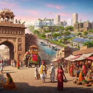
Welcome to a heartfelt exploration of one of India’s most culturally resonant regions. As we step into the vibrant landscape of May 12, 2026, understanding a place is about much more than simply reading a map; it is about feeling the heartbeat of the land. Nestled warmly in the Braj region of Rajasthan, Bharatpur is celebrated far and wide for its deep historical roots and spiritual significance. Lovingly known as the “Eastern Gateway to Rajasthan,” this beautiful district beautifully straddles the border of Rajasthan and Uttar Pradesh, giving it a unique charm where diverse traditions seamlessly meld together.
A Closer Look at the Bharatpur District Map Overview
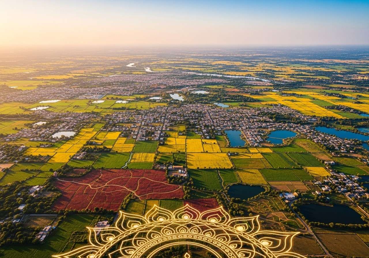
When you gaze upon the current map of the Bharatpur district, you are essentially looking at a canvas painted with history and natural bounty. Geographically positioned at a latitude of 27.216982 N and a longitude of 77.489517 E, the city rests comfortably at an altitude of 250 meters. The terrain here tells its own story. While much of the district features a welcoming, plain landscape, the tehsils of Bayana and Rupbas offer a striking contrast with their diversified, rolling hilly regions.
The land is nurtured by several life-giving seasonal rivers. Streams like the Ban Ganga, Rooparel, Kankud, Gambhir, and Parvati meander through the territory, nourishing the soil and supporting local life. This intricate map layout is not just for geographic referencing; it plays a vital role in guiding local infrastructure planning, urban development, and everyday administration.
Area Insights and the Pulse of the People
Spanning an impressive 5,066 square kilometers, the Bharatpur district is a vast expanse that meticulously balances residential life, agricultural abundance, and precious natural habitats. As of 2026, the estimated population of Bharatpur city stands at a vibrant 378,000 residents. This thriving community is governed by a dedicated Municipal Corporation, functioning seamlessly as part of the broader Bharatpur Metropolitan Region.
This significant land area deeply influences the region’s economic vitality, particularly in agriculture and cultural tourism. To truly appreciate the district, one must look at its revered landmarks. The Ganga Mandir, for instance, stands as a testament to mesmerizing architecture and deep-seated devotion, drawing families who wish to connect with their spiritual roots. Meanwhile, the historic Lohagarh Fort stands tall, symbolizing the unyielding strength and resilience of the region’s ancestors.
Key Distances and Seamless Connectivity
Bharatpur’s strategic map placement makes it an incredibly accessible haven for travelers, devotees, and culture enthusiasts alike. It is situated almost equidistant from major metropolises, weaving a web of connectivity that supports its growing importance.
- Proximity to Agra and Fatehpur Sikri: Agra is located a mere 56 kilometers away, making Bharatpur an ideal extension for anyone visiting the iconic Taj Mahal. Additionally, the historic marvel of Fatehpur Sikri is incredibly close at just 22 kilometers, allowing for enriching weekend heritage trails.
- Connections to Mathura: Located approximately 38 to 39 kilometers from the sacred city of Mathura, Bharatpur shares a profound spiritual and cultural connection with the Braj Bhoomi. This close distance allows devotees to easily travel between these holy landscapes to celebrate their faith.
- Routes to Major Capitals: For those traveling from larger urban hubs, Bharatpur is roughly 176 kilometers from Jaipur and 251 kilometers from Delhi. This well-planned road network, complete with regular bus services, ensures that the journey remains comfortable and highly accessible for families.
- Air and Rail Transport: The nearest operational airport is in Agra, seamlessly connecting flyers to Delhi and beyond. Furthermore, the local railway station ties Bharatpur directly to major Indian cities like Mumbai, Kota, Sawai Madhopur, and Jaipur through highly reliable and regular train services.
Environmental Treasures: The Keoladeo National Park
No geographic insight into Bharatpur is complete without honoring its natural crown jewel. The Keoladeo National Park, widely cherished as the Bharatpur Bird Sanctuary, is a prestigious UNESCO World Heritage Site. Serving as a crucial breeding and feeding ground, it plays host to an astounding diversity of life, featuring over 350 species of animals and birds. The maps of 2026 underscore a renewed commitment to balancing the inevitable urbanization with the critical need to conserve such sacred environmental havens.
Administrative Divisions and Future Growth
The administrative map of Bharatpur is thoughtfully divided into various tehsils and sub-districts. These geographical divisions are incredibly important for ensuring that local governance reaches every doorstep, facilitating fair resource distribution and strong community cohesion. As we navigate through 2026, driven by a surge in population and modern development needs, the implementation of advanced GIS technology is helping planners design updated maps. These modern blueprints are paving the way for new transport hubs and better roads, ensuring that the district steps into the future without losing its soulful past.
Bringing the Spirit of Bharatpur into Your Home
As you immerse yourself in the rich geographic and cultural tapestry of Bharatpur, you might feel a profound desire to bring a piece of this spiritual heritage into your everyday life. While we do not offer travel packages or VIP temple darshans, our mission is to help you create a sacred space right in your own living room.
At our cultural goods store, we offer a deeply authentic collection of spiritual items that resonate with the pious energy of the Braj region. From intricately assembled puja essentials to the calming fragrance of traditional dhoop, our products are curated with utmost respect for our Indian traditions. You can easily access these sacred items from the comfort of your home. To explore our beautiful collection of ritual items, please visit our online store at https://www.poojn.in/puja-kits or browse our aromatic offerings at https://www.poojn.in/incense-sticks. Let us help you keep the flame of tradition burning bright, no matter where your personal map takes you.
Frequently Asked Questions About Bharatpur’s 2026 Landscape
What is the total area of the Bharatpur district in square kilometers?
The magnificent district of Bharatpur proudly covers a vast area of exactly 5,066 square kilometers, offering ample space for both thriving urban communities and lush natural landscapes.
Where can one access the most current maps of the Bharatpur district?
For the most accurate and up-to-date geographical information, it is highly recommended to check official government websites or visit local administrative offices which provide the latest district blueprints.
How do the updated maps differ from older versions of the district layout?
The recent 2026 maps feature significantly enhanced geographical details, reflecting modern infrastructure projects, freshly laid transportation routes, and minor boundary adjustments that were absent in older iterations.
Which key geographical features are most prominent on the region’s map?
When looking at the map, you will easily notice the vital seasonal rivers like the Ban Ganga and Rooparel, the protective forested areas of the Keoladeo National Park, and the contrasting hilly terrains of the Bayana and Rupbas subdivisions.
Are all administrative subdivisions visible on the district map?
Yes, the detailed district map provides a comprehensive and transparent view of all local tehsils and administrative subdivisions, making it easier for citizens to understand their local governance structure.
Do the regional maps illustrate connectivity with surrounding states and cities?
Absolutely. The maps are meticulously designed to highlight crucial transportation links, showcasing exactly how Bharatpur is connected by major roads and railways to neighboring hubs like Agra, Delhi, and Mathura.
Is the geographical data for the district revised on a regular basis?
The district’s geographical data undergoes periodic revisions to accurately capture ongoing urban development, infrastructural expansions, and vital demographic shifts, ensuring that planning remains highly effective.