Welcome to the culturally vibrant city of Amravati, a place where deep-rooted Indian traditions and breathtaking geography blend in perfect harmony. Nestled gracefully in Maharashtra’s Vidarbha region, this city stands as a proud emblem of our rich cultural tapestry and steady modern growth. Amravati is a fascinating city where the local geography plays a beautiful, central role in shaping its cultural identity and everyday life. Understanding the natural landscape of this region gives us profound insights into the daily routines, agricultural practices, and spiritual rituals of its welcoming residents.
The Divine Geography of Amravati
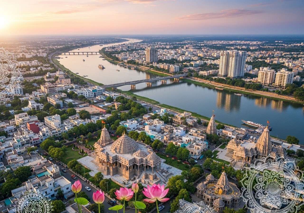
The strategic placement of Amravati has historically made it a vital junction for trade, connectivity, and cultural exchange. Located exactly at 20°55′33″N 77°45′53″E, the city sits comfortably at an average elevation of 343 meters (1,125 feet) above sea level. Situated just 156 kilometers west of Nagpur, it serves as the administrative headquarters for both the Amravati district and the wider Amravati Division.
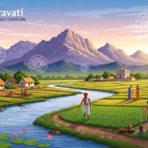
Our sacred rivers have always been the lifelines of our civilization. Here, the Wardha River forms a natural eastern boundary, while the Purna River graciously nourishes the southwestern plains. Other crucial rivers, such as the Pedhi, Arna, Chandrabhaga, and Shahanur, crisscross the region, blessing the deep black to light black soil that sustains local agriculture. The northern parts of the district, particularly around the breathtaking Melghat region and Chikhaldara, offer a hillier and cooler terrain, providing a serene contrast to the bustling plains. The region experiences a tropical wet and dry climate, with hot summers that can exceed 47 °C (117 °F) and beautifully mild winters.
The Five Pillars of the Amravati Division
The majestic Amravati division is quite vast, beautifully covering an area of approximately 46,250 square kilometers. This culturally rich division proudly encompasses five diverse districts: Amravati, Akola, Washim, Buldhana, and Yavatmal. Each district shines with its own unique linguistic warmth and traditional practices.
The fertile lands and abundant water bodies here are true blessings from nature, supporting the thriving local economies built on agriculture and textiles. The division is also home to esteemed educational institutions and agricultural research centers that pave the way for a brighter future, while modern transportation networks seamlessly connect these districts to the rest of Maharashtra.
How Topography Shapes Our Heritage
In our glorious culture, every mountain, river, and forest holds spiritual significance. The topography of the Amravati division is carefully studied by planners to ensure that the region’s natural resources are utilized respectfully and sustainably. Visual geographical guides, illustrating everything from the dense forests to flowing rivers, help in identifying areas for agricultural growth without harming the environment.
At the district level, these topographical insights assist in essential administrative and disaster management planning, especially during the monsoon season. For educators, families, and our younger generation, understanding these geographical boundaries helps keep the stories of our ancestors alive, linking historical monuments and spiritual sites to their exact earthly locations.
Where Geography and Tradition Meet
The heart of Amravati lies in its people and their enduring traditions. Our local festivals, traditional architecture, and vibrant community rituals are deeply intertwined with the region’s geographical landmarks. From the food we lovingly cook in our kitchens—flavored by the native agricultural produce—to the folklore shared by our elders, every aspect of life here celebrates the land.
By understanding the roots of this beautiful region, we learn to honor the delicate dance between humanity and nature. Amravati stands as a testament to how the land we live on gently guides our past, present, and future, helping us preserve our timeless cultural heritage.
Embracing Amravati’s Cultural Spirit with Poojn.in
While we at Poojn do not provide travel packages or offer VIP darshan services, we are deeply committed to bringing the spiritual essence of cities like Amravati straight to your home. Through our carefully curated collection of authentic cultural goods, we help you stay connected to your roots, no matter where you reside in India. If the rich traditions of the Vidarbha region inspire you, we invite you to explore products that resonate with that very devotion.
Our Authentic Cultural Offerings
- Authentic Ritual and Puja Essentials: Embrace the spiritual energy of our rich heritage with our meticulously sourced puja items available at https://www.poojn.in. Whether you need pure, soothing incense sticks, traditional brass diyas, or sacred threads, our collection ensures that your daily prayers and special rituals are performed with the utmost devotion and authenticity, bringing immense peace to your household.
- Beautifully Handcrafted Cultural Artifacts: Celebrate the timeless artistry of Indian traditions by exploring our curated selection of cultural pieces that resonate with our glorious past. These exquisitely crafted items serve as meaningful additions to your home or office decor, helping you stay deeply rooted in our vibrant culture while adding an elegant, traditional touch to your everyday living spaces.
Shopping with us is incredibly convenient, ensuring you always receive premium-quality products that respect our cultural values. For any guidance or to explore our offerings, please feel free to contact our warm and friendly team at 03369029784 or simply message us on WhatsApp at 9476142738. Let us help you celebrate your traditions with absolute purity and love.
Common Thoughts on Amravati’s Geography and Culture
What is the geographical layout of Amravati?
Amravati is beautifully positioned in the northeastern part of Maharashtra, specifically within the Vidarbha region. It is gently surrounded by rolling hills in the north and features a harmonious mix of urban development and serene agricultural plains.
What are the main districts in the Amravati Division?
This culturally rich division proudly includes five distinct districts that share a beautiful bond. The administrative umbrella gracefully covers Amravati, Akola, Yavatmal, Buldhana, and Washim, each bringing its own unique cultural flavor to the state.
How can one access the Amravati Division map?
For those looking to explore the topography visually, regional maps are readily available online through various trusted geographic information portals. These visual guides effectively showcase the district boundaries, major cultural landmarks, and the intricate network of rivers and roads that connect our communities.
What is the total area size of the Amravati Division?
The division is quite vast and expansive, beautifully covering an area of approximately 46,250 square kilometers. This extensive landmass naturally offers an incredibly diverse range of geographical features, from the cool, spiritual hills of Melghat to the highly fertile, black-soil plains below.
How does the local geography impact the lifestyle in Amravati?
The natural surroundings play a deeply significant role in shaping everyday life, dietary habits, and daily routines. The presence of elevated hills and regional rivers heavily influences local agriculture and harvest festivals, while the developing urban areas provide convenient modern amenities to support a balanced, happy lifestyle.
What key features are highlighted on the local district maps?
When you look closely at these topographical tools, you will notice they highlight the true lifelines of the region, including the sacred rivers like Wardha and Purna. This information is vital for understanding local transportation, historical connectivity, and the natural resources that sustain the community.
Why is understanding the local topography important for residents?
Having a good grasp of the region’s layout helps residents navigate their beautiful surroundings with ease and confidence. It is also incredibly essential for community planners when organizing local development, ensuring safe infrastructure, and planning for sustainable, culturally respectful growth.
How do geographical guides assist in understanding the region better?
Visual representations provide an immediate, clear understanding of the land, gracefully highlighting both natural wonders and bustling urban centers. They are indispensable tools for daily navigation, educational purposes for our children, and preserving the deep, emotional connection between our people and their ancestral lands.