India, a land of vibrant culture and diverse geography, boasts a fascinating administrative structure. Understanding this framework is key to appreciating India’s governance and regional identities. The country is divided into states and union territories, each playing a unique role in the nation’s political, economic, and cultural landscape.
Historical Context and Evolution
India’s administrative boundaries have evolved over centuries. British colonial rule significantly influenced the modern state boundaries. Post-independence, the States Reorganisation Act of 1956 reshaped the map based on linguistic lines, leading to the creation of new states and union territories over time. This historical context is crucial for understanding the present-day administrative structure.
Mapping India’s States and Union Territories
Currently, India comprises 28 states and 8 union territories. Each state possesses its own unique language, culture, and traditions, alongside varied geographical features, from the Himalayan mountains to the coastal plains. Union territories, on the other hand, are governed directly by the Central Government, with an Administrator or Lieutenant Governor appointed by the President. States have their own elected governments led by Chief Ministers.
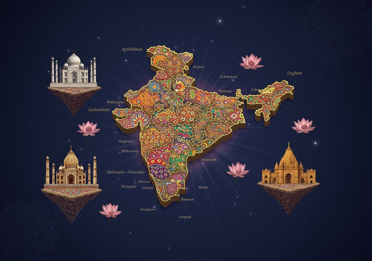
A political map of India effectively illustrates these divisions, highlighting regional diversities and governance structures. Significant changes, such as the 2019 reorganization of Jammu & Kashmir into two union territories, underscore the dynamic nature of India’s administrative map. You can find up-to-date maps on resources like the OpenCity Urban Data Portal, Maps of India, and Mapsofindia.com.
Districts: The Sub-Divisions of States
Districts are the primary sub-divisions within states and union territories, each managed by a District Collector. Factors like population density, cultural considerations, and administrative efficiency influence district formation. Districts vary greatly in size and population, posing challenges in resource management and development across diverse regions. Despite these challenges, districts are essential for implementing policies at the grassroots level.
Cultural and Demographic Insights
India’s administrative divisions mirror its cultural richness. Linguistic, religious, and ethnic identities often influence state boundaries. Festivals and traditions, while sometimes transcending borders, remain deeply rooted in state identities. Understanding these divisions provides valuable insights into India’s diverse cultural tapestry and how geography and administration shape regional identities.
Economic Implications of Administrative Divisions
States are key drivers of India’s economic development, implementing policies and promoting industrial growth. Some states leverage their geographical advantages effectively, like Maharashtra’s industrial hubs or Kerala’s tourism sector. However, smaller states and union territories may face challenges in attracting investment. Administrative divisions also influence resource allocation, and efficient governance is crucial for balanced regional economic growth.
Technological Advancements in Mapping
Technology plays a vital role in understanding India’s administrative divisions. Geographic Information Systems (GIS) create interactive and informative maps. Satellite imagery provides real-time data for efficient planning, and initiatives like the National Remote Sensing Centre leverage technology for improved governance. These advancements enhance public services and administrative management.
Poojn.in: Your Partner in Navigating India’s Diverse Cultural Landscape
Poojn.in simplifies access to authentic puja items across India’s diverse administrative regions. Our delivery network spans all states, union territories, districts, and major cities.
- Pan-India Delivery: We ship to all 28 states and 8 union territories, ensuring access to puja essentials regardless of location. This broad reach reflects our commitment to serving the diverse spiritual needs of India.
- Pin Code Coverage: Easily check delivery availability using your local pin code, streamlining the ordering process and providing transparency. This feature ensures quick and reliable delivery to even the most remote areas.
- Regional Product Variations: Discover region-specific puja items and materials, catering to diverse cultural practices and traditions. We understand that puja rituals vary across regions, and we offer a tailored selection to meet these unique needs.
- Local Customs Support: Our product offerings align with state-specific ritual practices, ensuring authenticity and respect for local traditions. We strive to provide the right items for your specific customs and beliefs.
- Multiple Language Support: Navigate our website in major Indian languages, making it accessible and user-friendly for a wider audience. This inclusivity reflects our commitment to serving the diverse linguistic landscape of India.
For state-specific puja needs, we offer:
- Complete puja samagri kits, providing all the essential items for your rituals in one convenient package. These kits are carefully curated to ensure authenticity and completeness.
- Regional prayer items, catering to specific deities and local customs. We offer a wide selection of items to enhance your spiritual practice.
- Local festival essentials, ensuring you have everything you need for celebrating regional festivals with authenticity and devotion. We understand the importance of these celebrations and offer a curated selection of items.
- Traditional materials specific to your area, reflecting the unique cultural heritage of your region. We source authentic materials to ensure the integrity of your puja rituals.
Visit Poojn.in or download our app to explore our comprehensive range of products. Our customer service team is available to assist you in finding the perfect items based on your location and specific requirements. Download the Poojn app for convenient access to puja items across all Indian administrative divisions.
You can find products such as Sakha by Poojn, Paita by Ashim Banerjee, Maa Lakshmi Murti, and camphor tablets on Poojn.in.
Embracing India’s Diversity
India’s administrative divisions are a testament to the nation’s rich cultural, economic, and geographical diversity. Understanding these divisions provides a deeper appreciation of India’s complex identity and governance. Each state and union territory contributes uniquely to the nation’s fabric. As technology advances, mapping and governance become more efficient, offering hope for balanced growth and development across all regions.
FAQs on India’s Administrative Divisions
What are the administrative divisions of India? India is organized into states and union territories, with 28 states and 8 union territories.
Where can I find a map of India’s states and union territories? Reliable online resources such as the OpenCity Urban Data Portal, Maps of India, and MapsofIndia.com offer detailed maps of Indian states and union territories. You can also find these maps in geography textbooks and online map services.
What distinguishes a state from a union territory? States possess their own elected governments and greater autonomy, while union territories are directly governed by the Central Government.
Where can I access a political map of India displaying states and union territories? Political maps are available online, in geography textbooks, and through online map services.